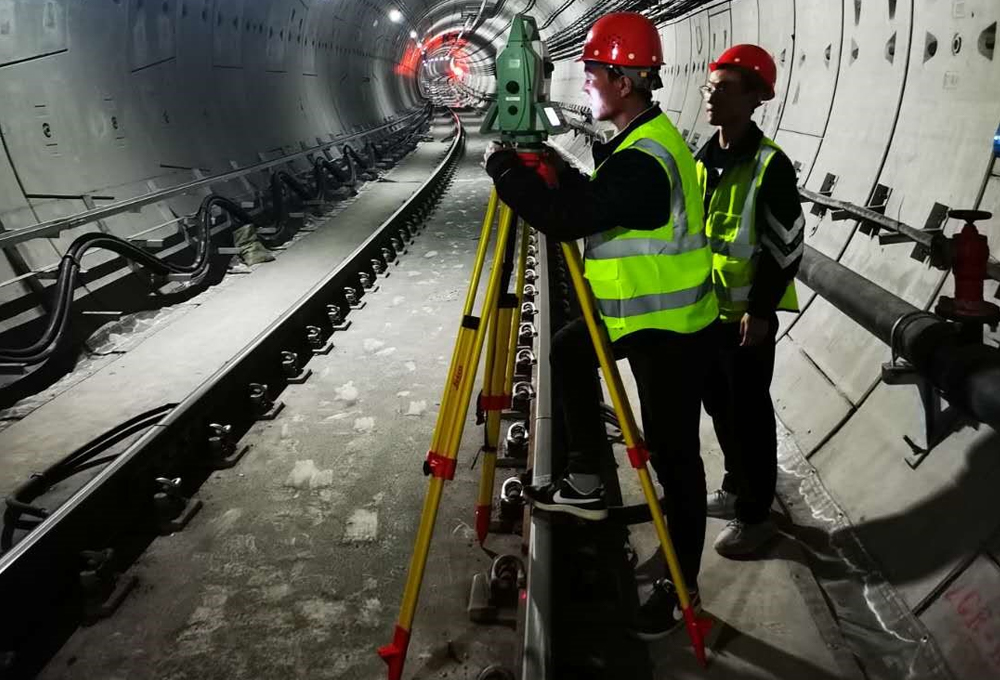
The company is one of the first A-level mapping enterprises in China, primarily undertaking tasks about control, topography, municipal engineering, line project, deformation (settlement) observation, cadastral mapping, administrative boundary mapping, housing mapping, land survey and so on. In total, the company has completed control and topographic map measurement works for nearly 6,000km of expressways and reconstructed and expanded expressways, hundreds of bridges, interchanges and tunnels. Some advanced methods like airborne three-dimensional laser radar scanning have also been adopted in expressway surveying and mapping in a mountainous area or under other complex topographic conditions. The company holds the qualification on land survey, as well as a great deal of land surveying experience, like land approval and so on..
The bridge site control survey of Zhengzhou Yellow River Road Bridge on National Road G107 won the Golden Award of National Surveying Engineering. The application of GPS in the highway survey was honored with the first prize of the Improvement of the Surveying and Mapping Technology in Henan Province. The construction control network survey of Kaifeng Yellow River Grand Bridge, the airborne three-dimensional laser scanning survey of the reconstruction and expansion of Luoyang-Lingbao Section in Lianyungang-Huoerguosi Expressway, and the airborne three-dimensional laser scanning survey of Songxian-Luanchuan Expressway achieved the first prize of High Quality Surveying and Mapping Engineering in Henan Province respectively.
